

In the Fall of 2010 Eastern Kentucky University (EKU) instituted a university certificate in Geographic Information Systems (GIS). The certificate is designed to facilitate student’s ability to gain expertise and experience with geographic information systems and remote sensing as both are highly desirable and in-demand skills in the public and private sector.
The program’s main goal is preparing students for post-graduation employment. “I always tell students, regardless of their major, that if you have the GIS Certificate, in addition to your degree, you are going to stand out,” said the program’s administrator, Dr. Tyler Huffman, associate professor in the Department of Physics, Geosciences, and Astronomy.
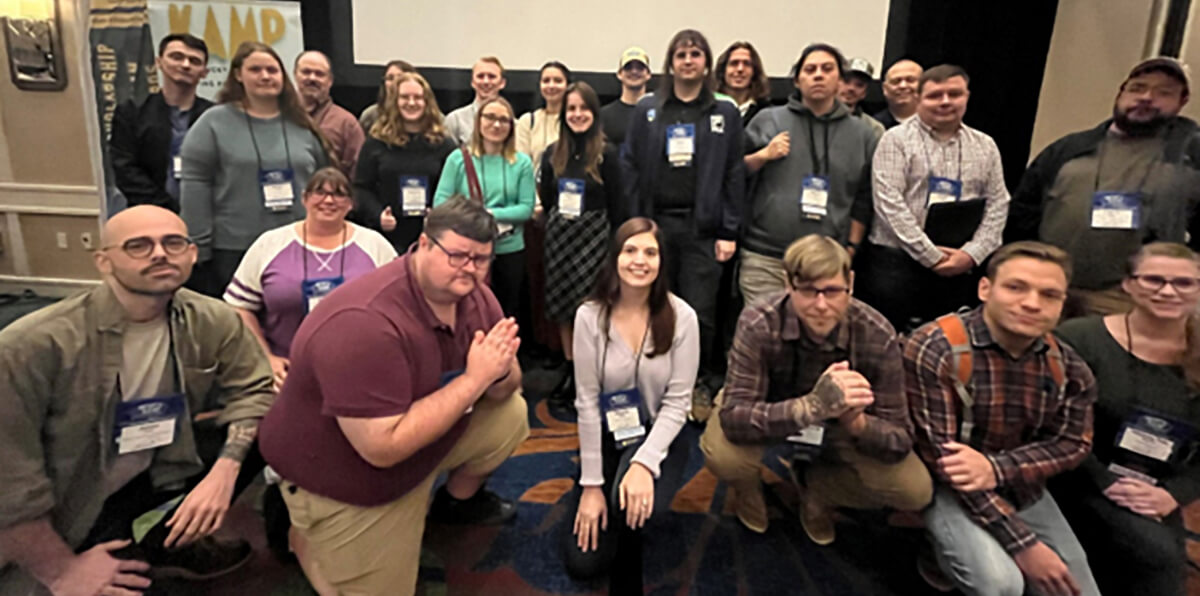
In addition to his position at EKU, Dr. Huffman is an active member of the Kentucky Association of Mapping Professionals (KAMP) which holds an annual Kentucky GIS Conference. Part of the certificate program includes a concerted effort to ensure that as many EKU geoscience students as possible attend this conference, as it allows the students to both learn more about possible career opportunities after their graduation, and gives them the opportunity to make contacts and network with GIS professionals from all across the commonwealth. According to Dr. Huffman, “This benefit cannot be understated. I was also told by a prospective employer that when he sees an Eastern Kentucky University resume come across his desk, it goes into a separate pile for review as he knows the quality of EKU graduates.”
Among the many positive student testimonials that he has received during his time in charge of the program Dr. Huffman said a few stood out to him, such as “I often think back to the lessons learned in your GIS classes, and I have to admit one of the best decisions I made was taking your advice and getting the GIS certificate. Everywhere I’ve been, from grad school to working for the state in Illinois to now being in the private sector, my ability to use GIS and having the certificate has been a big asset. I’ve had bosses tell me that the certificate helped me stand out in the selection process, and the skills I learned have allowed me to flourish in my job. I just wanted to say thanks for encouraging me to get the certificate and your mentorship through my time at Eastern.”
Another former student stated, “I would not have this (employment) opportunity if it weren’t for you! I had no idea what GIS was when I started college, but your intro to GIS class made me change the course of my education and pursue a GIS certificate.”
When asked if he had anything else he would like to share about the program Dr. Huffman said, “I attended a KAMP Quarterly Meeting a couple of years ago in Frankfort. Of all the attendees, over 10% were EKU graduates. I think I counted 12 of 95. EKU GIS students are well known across the Commonwealth. Also, besides me being elected KAMP President, we have had several EKU graduates rise to become elected members of the KAMP Board of Directors.”
For more information about EKU’s GIS certificate you can contact Dr. Tyler Huffman (tyler.huffman@eku.edu), or Dr. Kelly Watson (kelly.watson@eku.edu).